Measuring sea water temperature
21 February 2021
Oceanography
In this post, we are going to talk about how the temperature of sea water is measured!
Answer: with a thermometer? Yes, right, the thread is over… or maybe not, there is a little more to tell!
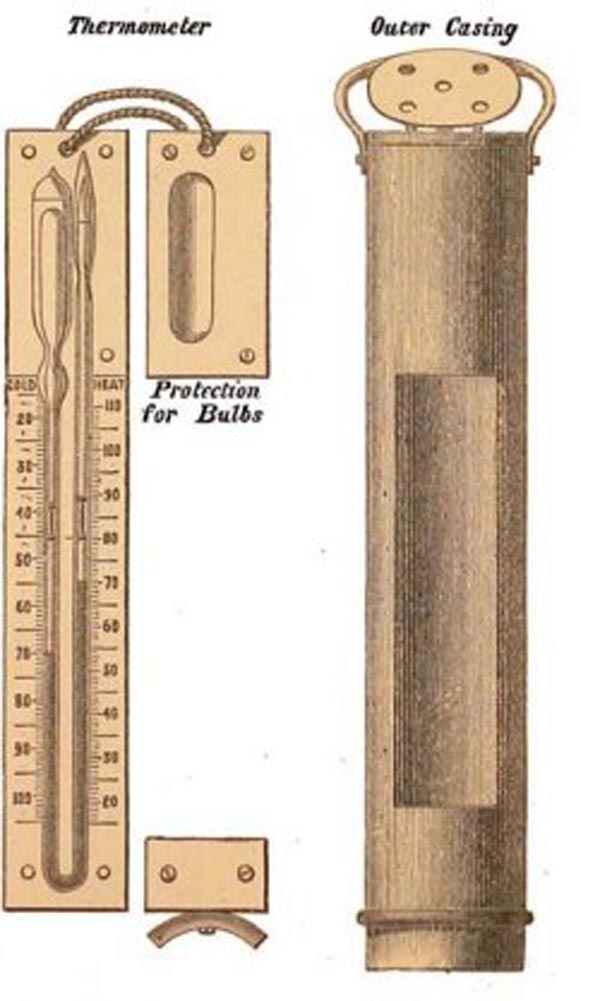
At the end of the 19th century, during the Challenger expedition (1873-1876), the temperature was measured with a special thermometer, as it tried to minimize the effects of the high pressure found under water (yes, water is heavy).
 Source: https://oceanexplorer.noaa.gov/
Let’s see how that has changed over the centuries. In the followings:
✔️ = advantages
❌ = inconsistencies
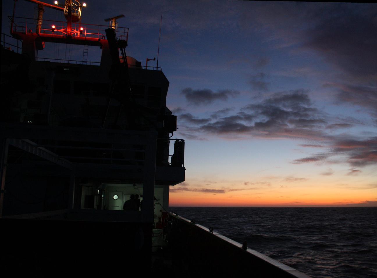
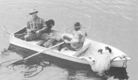
The ship
It continues to be a fundamental element for observing the ocean.
❌: cost (crew, scientists, food, diesel) and sometimes difficult with bad sea conditions.
✔️: analysis of the water sample inside the boat (there are usually laboratories), and you can go where you need to.
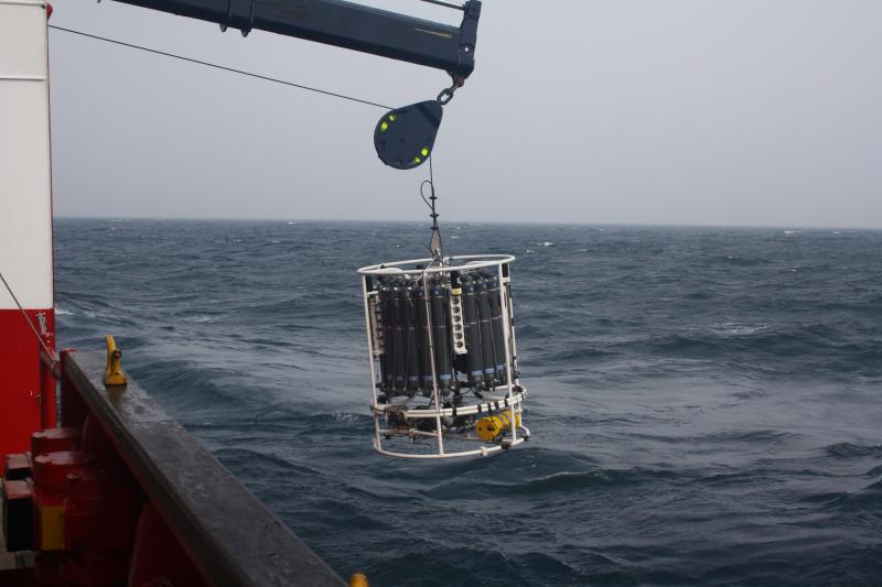
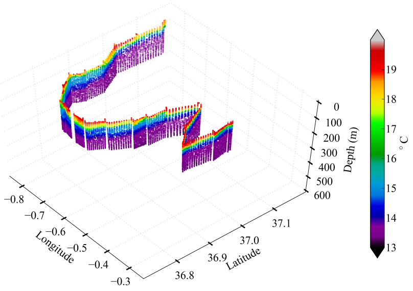
On the ship, what is called a CTD (conductivity, temperature, depth) is used a lot. In general, the CTD is accompanied by a rosette, where there are bottles that allow collecting water samples at various depths.
As sometimes it is not convenient to go out with the ship, the engineers and scientists invented a series of devices that do not need the direct presence of humans.
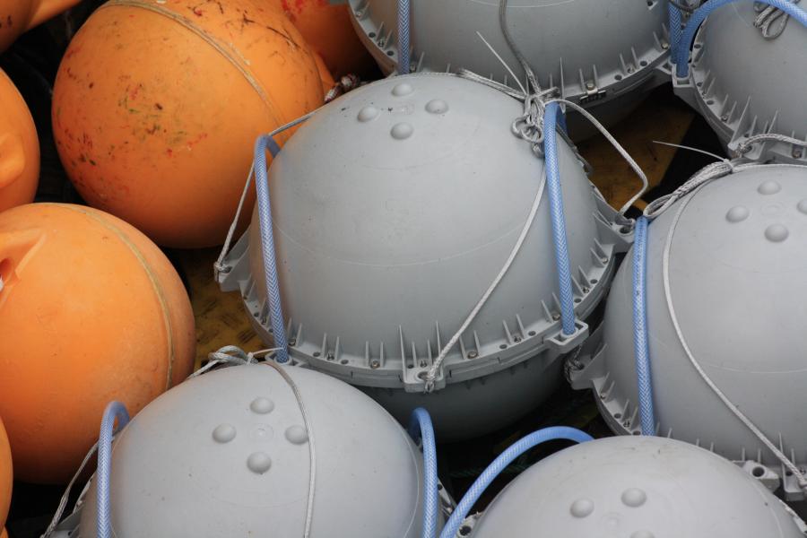
Drifting buoys
The buoys follow surface currents, and sometimes have a temperature sensor.
✔️: low cost, measured along streamlines.
❌: does not give any information under the sea surface.
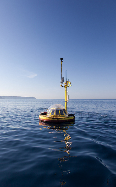
Mooring
It is an almost fixed structure, connected to the seabed by a cable. Instruments at various depths are placed on the cable.
✔️: allows one to obtain long time series, at various depths.
❌: maintenance: after several months in contact with the sea, the sensors are covered with stuff that prevent proper functioning.
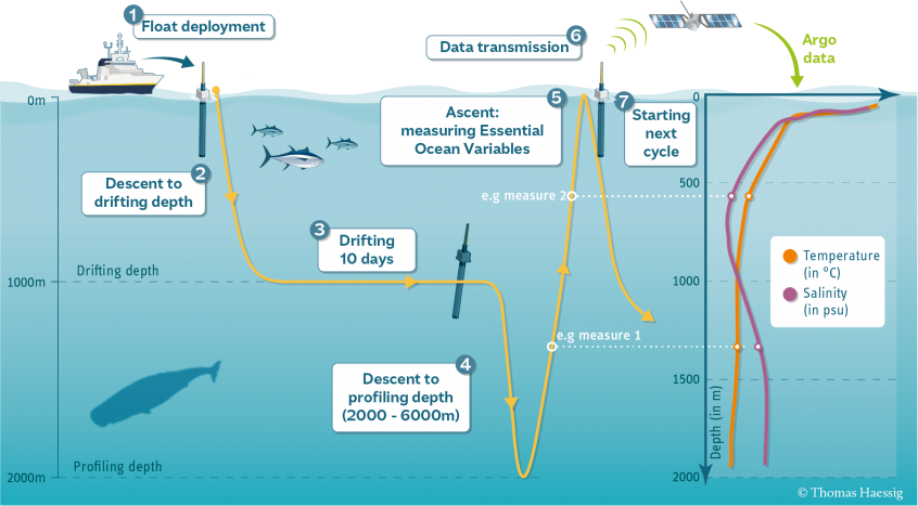
Argo profiler
Like the buoy, it drifts with the currents, but has the possibility of going down to several 1000’s of meters.
✔️: provides temperature profiles; other sensors can be added (oxygen, chlorophyll, pH, …)
❌: cost (although better than a ship), and the fact that it cannot be taken exactly where one needs it.
Follow @EuroArgoERIC and @ArgoSpain1 if want to know more about profilers.
 Source: https://argo.ucsd.edu/outreach/media/schematics/
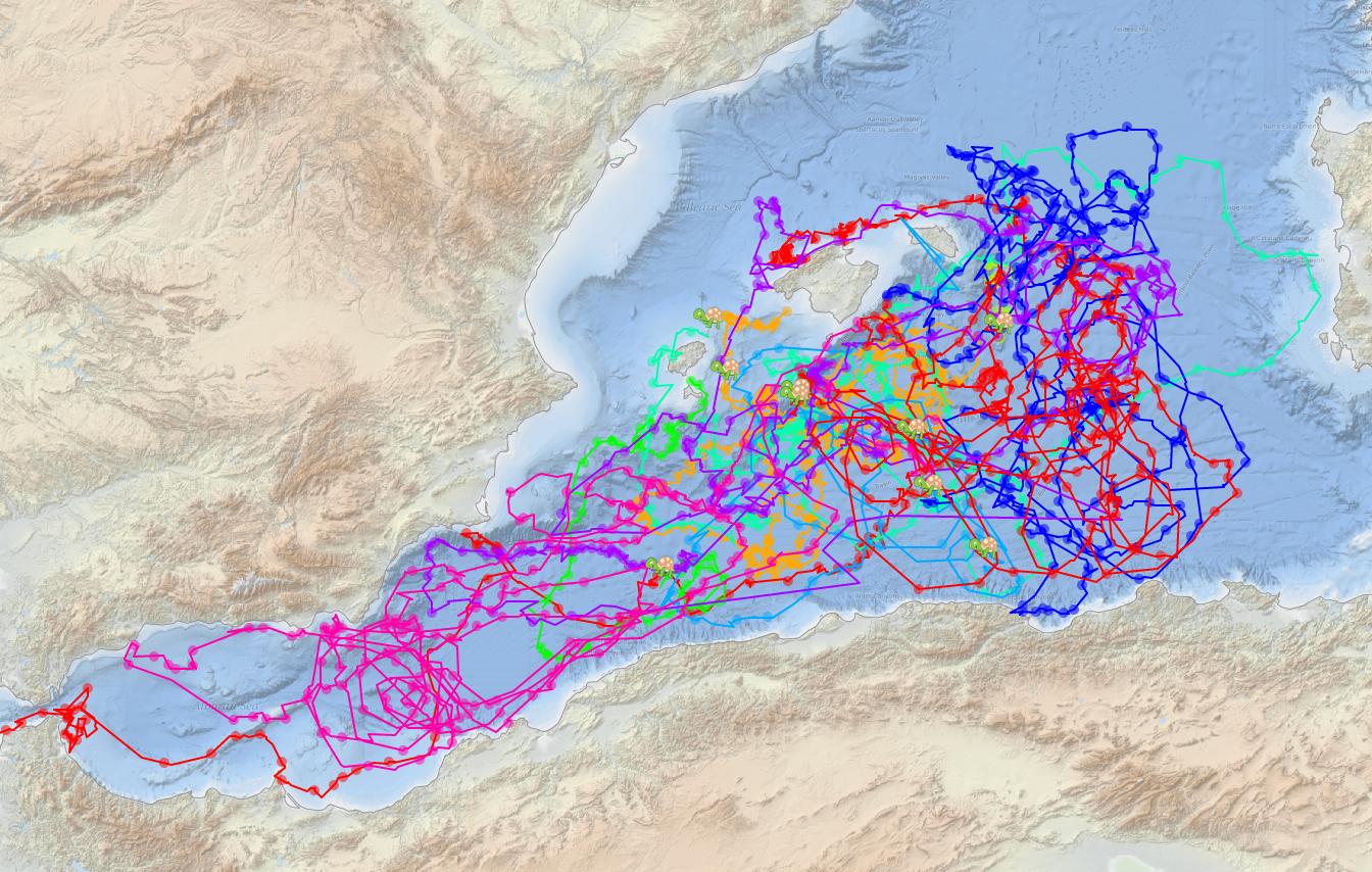
Glider
It is a type of submarine controlled by an operator. It does not have a motor, but its buoyancy can be changed thanks to a piston.
✔️ operates in any conditions, and provides data with very high resolution.
❌ again the cost, not only the purchase, but the maintenance (batteries etc).
Follow @ego_gliderman and @SeaExplorerUUV for real-team information about glider missions.
I think the glider deserves its own thread, there is a lot to tell! Follow @Med_clic and take a look at http://medclic.es/es/instrumentos/glider/.
Others
Is it all? Of course not! Some ships, especially in the Baltic Sea, have a so-called FerryBox mounted: it is a fixed system, inside the ship, that receives water from the sea and measures its properties (temperatures and other parameters).
✔️ low cost, take advantage of the journey of a non-scientific ship.
❌ always the same routes, and only gives information at a depth of a few meters (~ 5 meters).
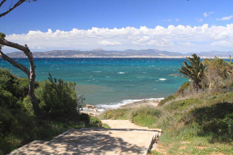
 (here the photo has nothing to do with FerryBox, since the ones I found are super crappy)
With all that, nothing is wrong, but there is more: the animals. No, it is not a mistake, there are animals in the sea to measure the temperature. They are generally seals, and you put a sensor on their head, then they drop it, and when it comes to the surface, the data is transmitted by satellite.
✔️ access to an area where you would not go with a boat, high depths, exploration of the polar areas.
❌ you have to capture the animals. However, protocols and ethical requirements are followed.
Photos? Here: http://www.meop.net/pictures/ (I don’t have time to contact the authors)
 Source: seaturtle.socib.es
Follow @dmarch_info for more about turtles.
The end
I closed the thread. I’m sure I forget a lot of things, I think the general idea is. In short: a lot of devices in the ocean, each of them with advantages and disadvantages, and little by little reducing costs and then improving coverage.