Medsea Names
Context
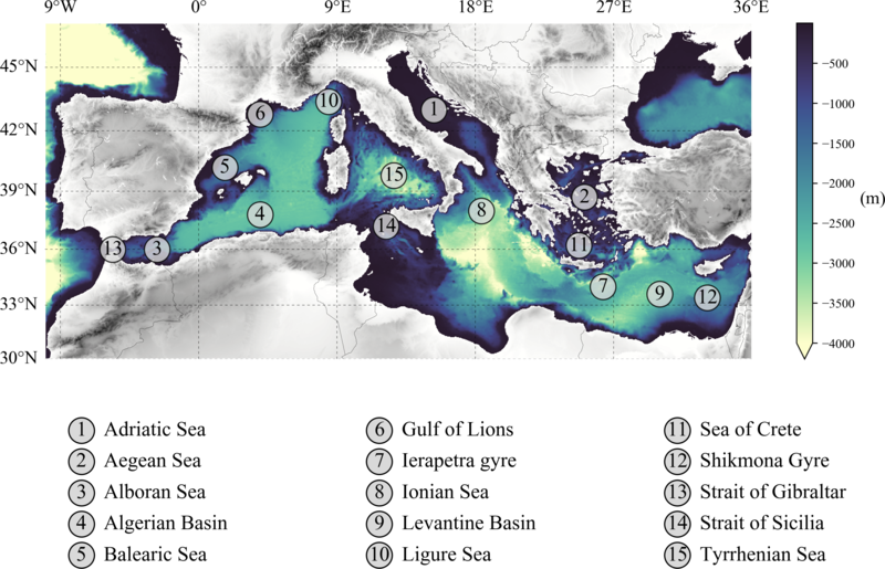
This one comes from a colleague’s request when we were preparing the revision of a paper. We has to provide a figure showing the different regions of the Mediterranean Sea for a reviewer that did not know anything about it. Obviously I checked if there was already something we could adapt from another paper we did not find anything we really liked.
What I like is the exchanges that lead to final version of the product. I always start with something easy, even incomplete, that I can provide in less than one hour, then my colleague can iterate on it and we finally have something that both agree one.
First versions
Keeping it easy
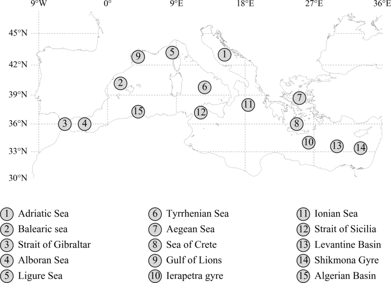
Nothing fancy for this one: a fine-resolution coastline, the list of places arranged in 3 columns below the figure and a few labels for the meridians and the parallels.
Refinement
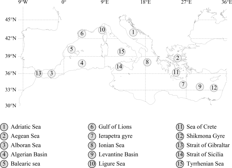
Two minor changes: we though it would be better to have the names sorted by alphabetical order and to have the circle background in a lighter tone of grey. The circle positions were also slightly moves. Details, of course, but at the end what we do is a combination of details.
Colors and more information
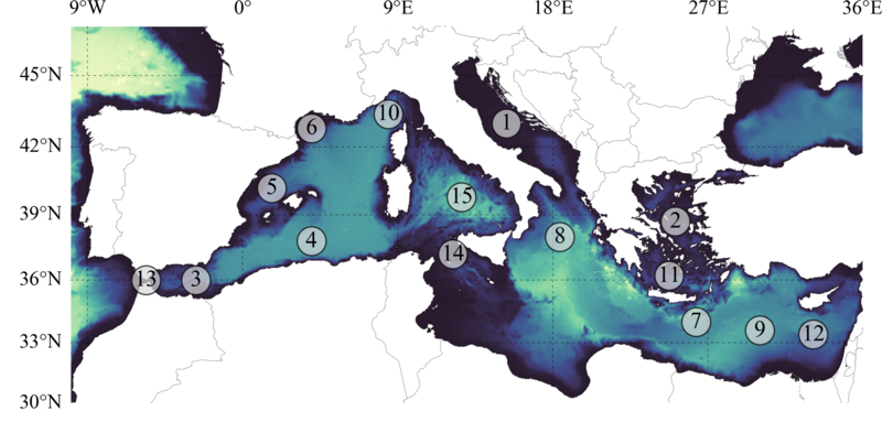
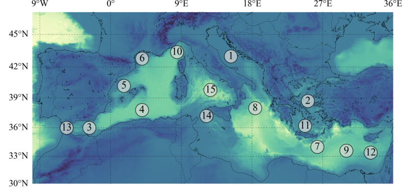
We decided to also add the bathymetry/topography, for it is a relevant information also mentioned in the paper. Two tries:
- covering the whole domain (i.e., land and sea).
- only on the sea.
The country boundaries are also visible, though this is not always necessary. I have clearly a preference for one of them… Note that I don’t show here the region labels, as they won’t change anymore.
Final version
I called it final because that’s the last one I’ve prepared, but not the one we selected for the paper. Here to highlight the bathymetry we have 2 different colormaps, one for the land (grey tones) and one for the ocean (blue-yellow). The result is clean, as we wanted, the grey colors for the relief don’t take too much the addition, while still adding some information.
