Canary Island population
15 September 2017
Python - Leaflet
The other day with some friends, we were asking ourselves about the population of the various municipalities in Gran Canaria, then in the rest of Canary Islands. It was not too difficult to find the answer but we needed something more visual and also a quicker way to find the population of a given place.
Solution? Create a choropleth map using Leaflet library. To do so, we just had to combine the
population data obtained from the Instituto National de Estadística and the municipality geographical limits from the Centro National de Información Geográfica. The result is a geoJSON file
in which each feature (i.e. each municipality) has a habitants property that is used
to style the choropleth map.
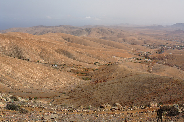
Just for fun: Betancuria (Fuerteventura) is the least populated municipality in the Canary Islands, with around 700 people.