Running in Sart Tilman
01 May 2017
Leaflet, GPSBabel
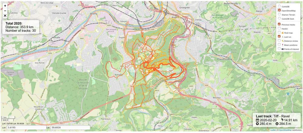
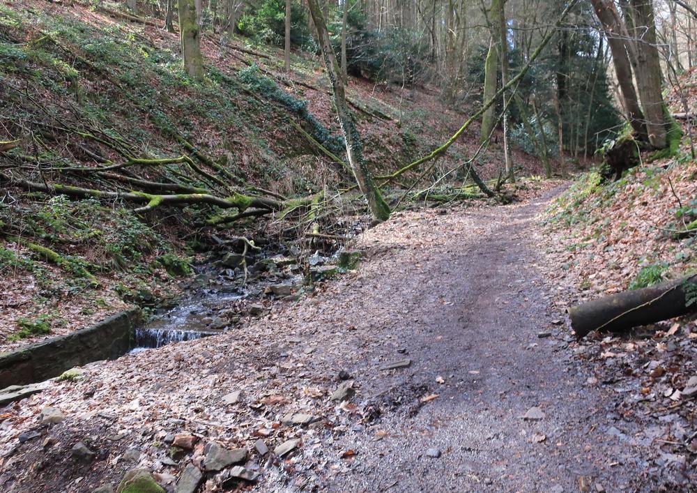
With colleagues we’ve been running in the Sart Tilman domain for more than 10 years now.
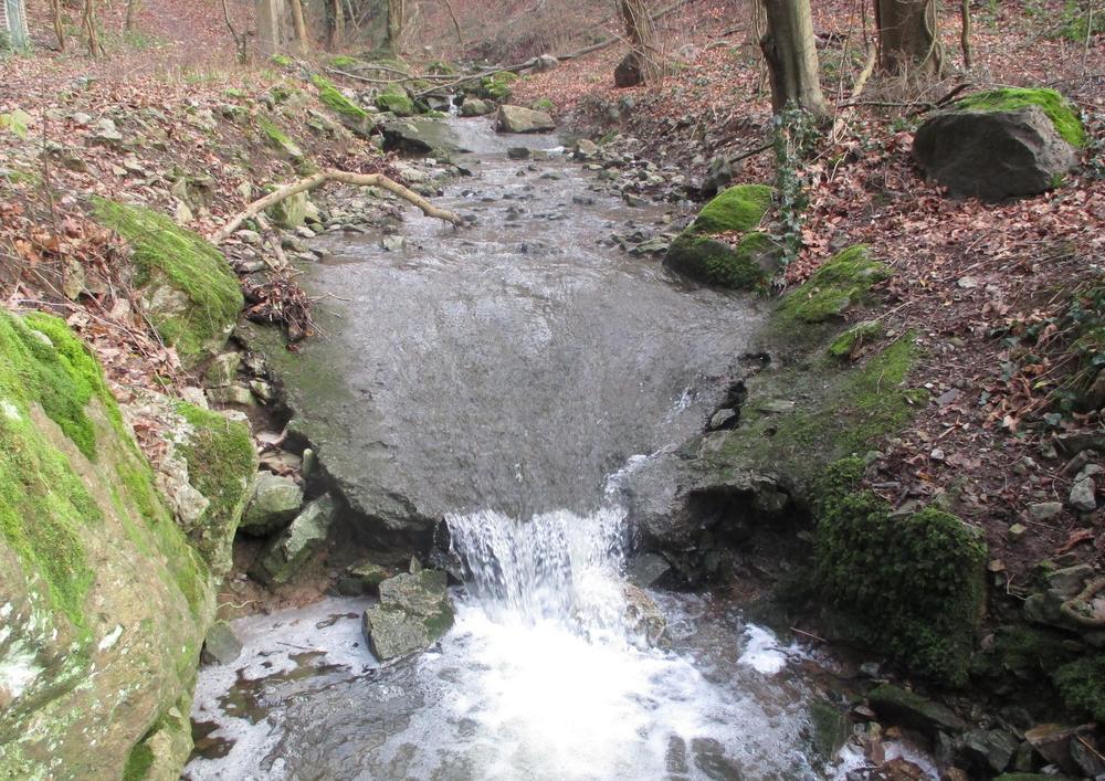
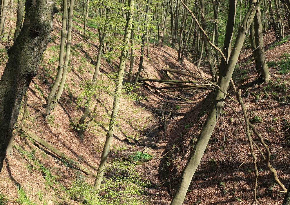
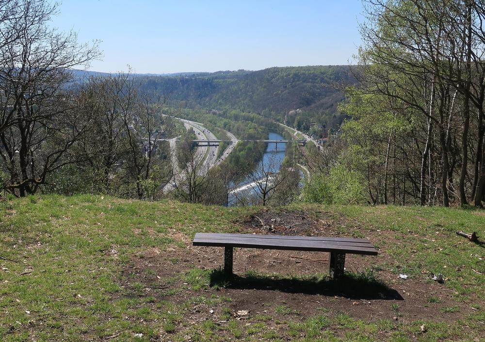
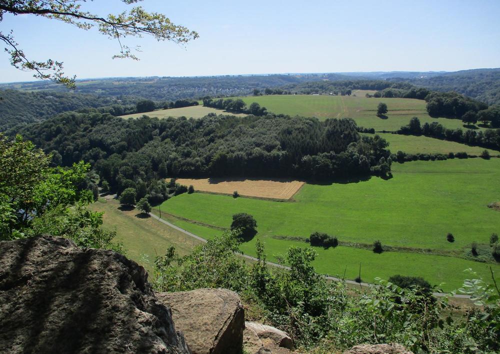
In the last years I could register the tracks using a GPS device and wanted to see we frequently go (Roches aux Faucons, Lande de Streupas, Chateau de Colonster, …) but also the trails we don’t see a lot, for example the Rochers du bout du monde.
Implementation
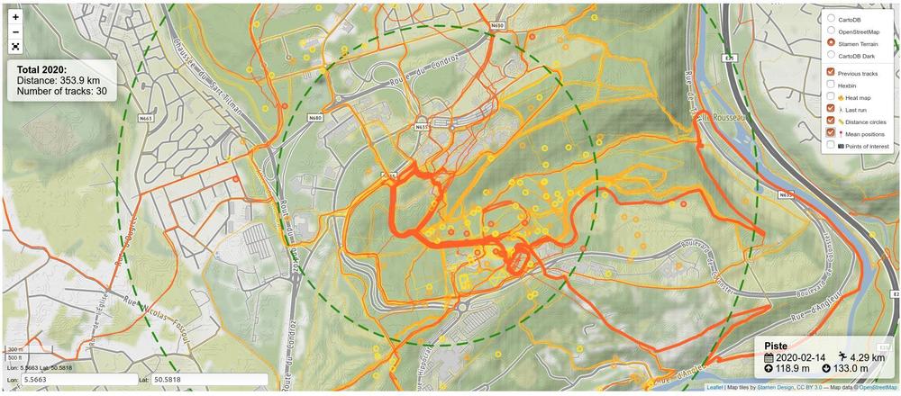
Quite similar to the Mallorca map. Different metrics (distance, positive elevation, …) are computed on-the-fly. The GPX files are downloaded from Movescount then cleaned, simplified (only 500 points are kept) and edited manually so that the title can be displayed in an info box.
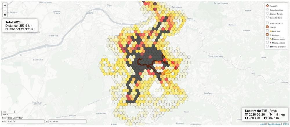
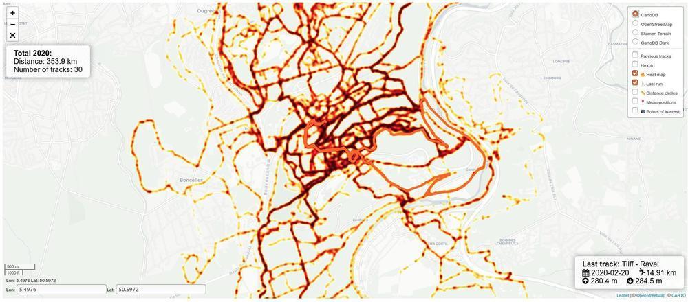
Heatmap and hexbin layers provide good ways to see the most frequent places and also locations where we never go. For example we almost never followed the national road “Route du Condroz”, due to the traffic.